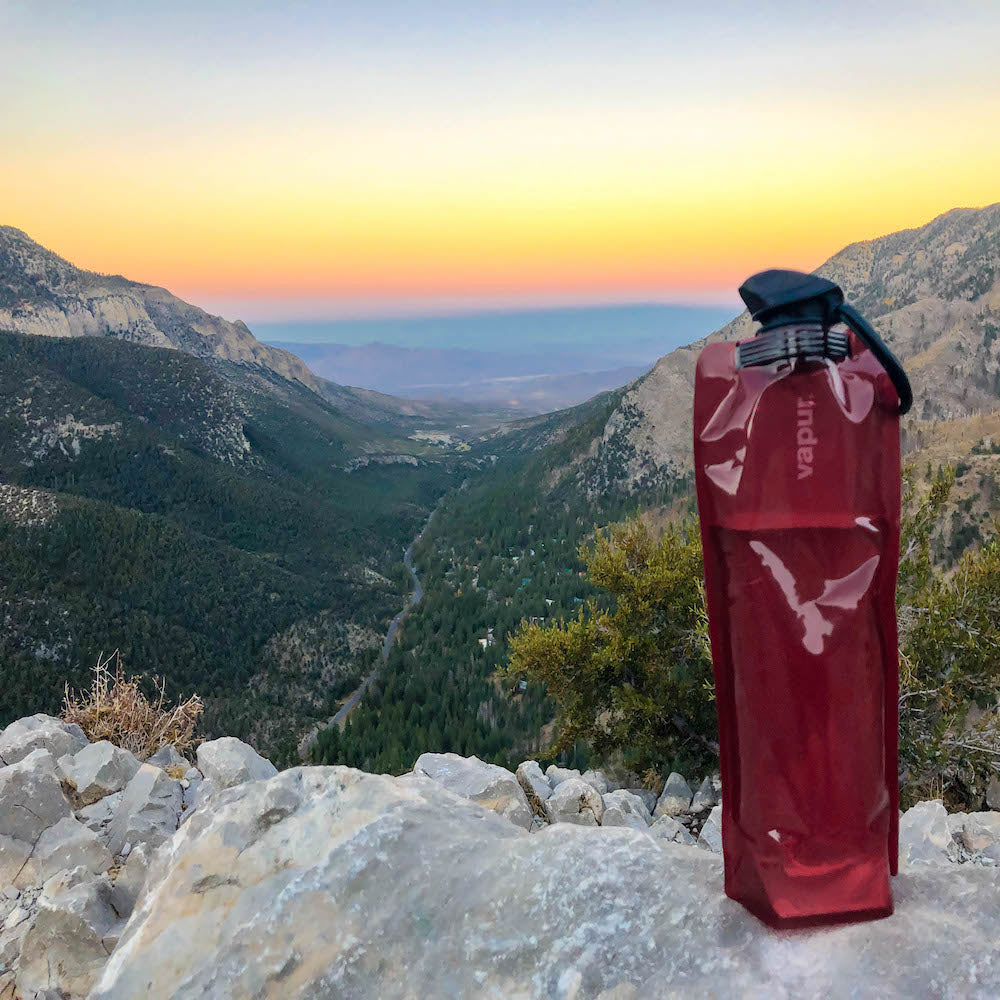
Wandering off the trail is the main reason why hikers get lost and require search and rescue, Knoxville News reports. This highlights the need for hikers to develop directional skills, which involves learning how to read trail markers. As America’s trails are well-marked with paint blazers, survey markers, and rock cairns, it’s important to learn how to recognize and interpret these signs, so you stay safe and confident en-route. Plus, it’s just as important to pack a reusable water bottle to avoid dehydration while hiking. Hydration is also key to a safe and enjoyable hike, and even survival if you do get lost, which means bringing enough water is a basic safety precaution.
Paint blazes
Paint blazes are probably the most common marker you’ll find along trails in the U.S.. You’ll usually spot them on trees, although they can also be found on posts. They also vary in style depending on their meaning, but it’s nothing too complicated to learn. Three rectangles that form a triangle shape, for example, signal the start of a trail. A single rectangle, on the other hand, indicates that you’re going the right way. So if you see this, keep heading straight forward. Two rectangles with one above and to the left of the other signify a left turn. This means you need to turn left on the trail. Likewise, two rectangles with the top one situated towards the right means you need to turn right. And at the end of the trail, you’ll usually see three rectangles that form an inverted pyramid. This means you’re now at the end of the trail.
One single paint color is typically used to represent the entirety of one individual trail. So, along the Appalachian Trail, for instance, you’ll see only white blazes. Other colors like blue may be used to indicate side trails or different trails intersecting through the main trail. You’ll know to ignore these other colors and follow only the white blazes to stay on track.
Survey markers
Survey markers are placed by professional surveyors and used to represent trail boundary lines and help with mapping. You may recognize these markers as they’re the same as the sorts used to signal property lines. In particular, survey marks placed on the ground typically represent key boundaries or reference points. To use the Appalachian Trail as an example again — survey markers here take the form of numbered aluminum caps placed along the trail’s boundary line. Blazes on nearby trees are also used to draw attention to the markers.
Although hikers may not usually need to know about survey markers as long as they follow paint blazes and signage to stay on track, it’s useful to know what they are if you come across one. In fact, some National Parks have even turned finding survey markers into a fun challenge. For example, Bryce Canyon National Park’s "Hike the Hoodoos!" challenge encourages hikers to follow specially-marked trails and find all the "Hike the Hoodoos" benchmark survey markers en-route. Hikers snap a quick selfie with the markers as proof they found them, and are then presented with a reward once they return to the Visitor Center.
Rock cairns
Rock cairns are stacks of rocks that serve as markers alongside trails to let hikers know they’re on the right route. That said, rules surrounding cairns can vary across trails. So, always look on the trail’s official website (or the national park website) to see how they use cairns. Some routes warn hikers not to take directions from cairns as they can be built by people just for fun and therefore shouldn’t be relied upon for guidance. When cairns are used as directional tools, it’s usually in areas with little to no trees as rocks are a useful alternative when paint blazes can’t be made. Although rock cairns can vary in height, they’re usually at least two feet tall and at least two feet wide — which makes them hard to miss.
Understanding how to read trail markers is essential for every hiker. By keeping an eye out for blazes, survey markers, and cairns on your next hike, you can stay safe and confident en-route.


